Posts

Showing posts from November, 2020

The Wild West Coast

Image
Kia ora e hoa ma! We've been exploring the very western reaches of NZ's south island which is ruggedly wild and sparsely populated.  On this leg of our journey, we made our way to the settlement of Karamea.  This is the last town (population of 365) in the area.  The sealed road has long since disappeared and we've become experts at driving washboard gravel roads.  Plodding along at 30 mph seems less slow these days as we've been doing it for so long it seems.  But the bumpy roads and slow travel are always rewarded with yet another spectacular surprise of natural beauty.  New Zealand continues to fascinate us with its complexity. The Punakaiki Pancake Rocks are limestone formations formed 30 million years ago from minute fragments of dead marine creatures and plants.  Then seismic action lifted the plates above sea level where wind/rain/sea water are gradually eroding the limestone into these magical features. Paparoa Forest is a sub-tropical forest d...

Arthur's Pass, Mischievous Parrots & Glaciers

Image
Greetings from the South Island! If you've been reading our blogs all along, you've come to realize this country is filled with some fabulous wilderness.  We've been gobsmacked by the broad diversity of ecosystems we've found throughout this country.  Once again we've found some new gorgeous places.  As we cross Arthur's Pass and head to the West Coast of the South Island, we are reminded daily as to why NZ is so gloriously green.  We have seen rain, so much rain for the past few weeks that we're starting to get web feet!  But as the Kiwi's say, "you just better get on with it" which means, regardless of the weather, one should work, tramp or do whatever needs to be done! Arthur's Pass at elevation of 3000 ft. is a place pioneers rested and resupplied themselves after a long journey up the mountains and in preparation for an equally long descent to the west.  Like many mountain villages, finding gold in the rivers turned Arthur's Pass i...

Our last loop on the North Island

Image
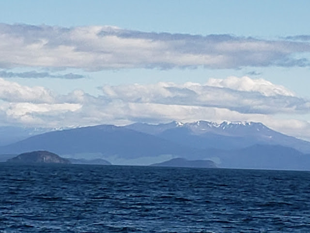
 Happy Fall Friends! We finished off our tour of the NZ North Island with some fabulous sights and experiences in the famous Taupo region.  Here the landscape has been shaped by massive volcanoes and remains geothermally active.  Lake Taupo is a massive caldera (a sunken crater) of the Taupo Volcano and it covers 238 square miles with water at a depth of 610 feet.  This beautiful lake was created when Taupo Volcano erupted 27,000 years ago with an explosion so massive that records indicate it turned the skies of Rome and China red.  Evidence that the volcano is still heating can be seen along the lake as numerous hot water springs flow into the lake.  Lake Taupo looking south to the snow capped mountains of the Whakapapa Ski Area Maori warrior carving on Lake Taupo NZ's longest river, the mighty Waikato flows from Lake Taupo.  But before it spreads out into a wide meandering river, it is forced through a rock canyon creating Huka Falls.  So much w...